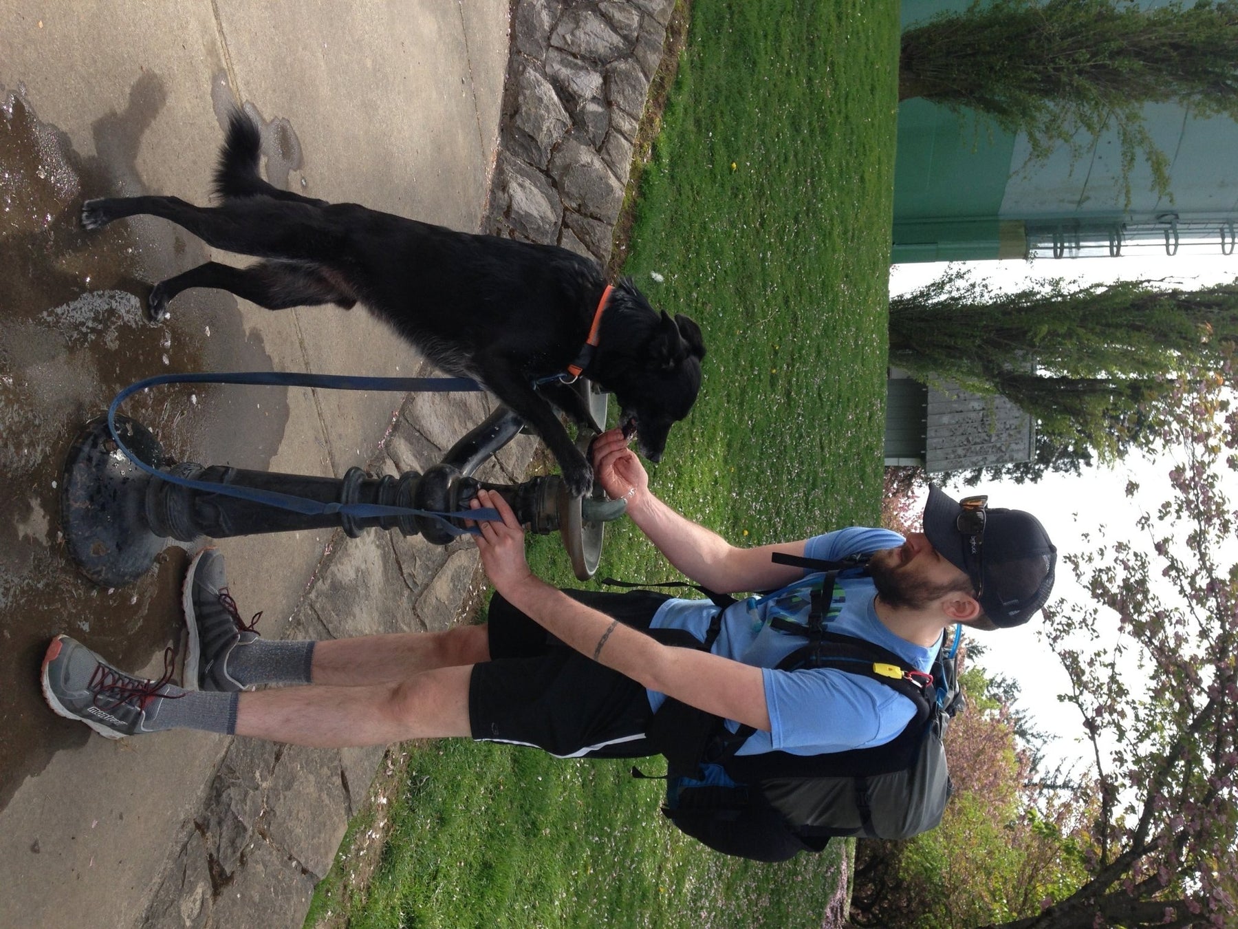
Only have a couple of hours to spend outside? This quick in-town hike gets you great views and a little elevation gain, without having to drive very far (or at all if you choose). For a longer hike, there are a myriad of interconnecting trails, including one that takes you over to Washington Park and the start of the Wildwood Trail (trip report to come). Adam and I had a busy day ahead of us but still wanted to get out in nature. We figured we could use this 3 mile round trip hike as part of our training for the John Muir Trail if we loaded up our backpacking packs.
Although we were going for weight, we still wanted our packs to be properly balanced. Using a light-heavy-light “sandwich” approach to packing will ensure your pack's weight sits as close to your center of gravity as possible. So we put our sleeping bags in the bottom, filled stuff sacks with food for the middle (dried beans and rice make great weights) and put tents on the top. Oh yeah, and we added a few liters of water each, for good measure.
The trail starts at the Marquam Shelter Trailhead, near OHSU. You can make part of it a loop, which is what Adam and I did, by taking a right onto the Sunrise trail in the beginning and later returning via the main trail. As a child my grandmother and I did this hike several times. I remember thinking it was quite an adventure to be walking through the woods and basically be in someones backyard, or to finish a switchback and suddenly discover you were at a junction with a road. This idea, of the interface between city and nature, is what makes Forest Park so special, and such an accessible way to connect with nature.
As you climb higher, the homes are left behind, and the final push reminds you that this is a park, as you come out of the woods and are greeted by a sign for the off leash dog area. In April the Cherry trees are blooming, carpeting the ground with their beautiful pink blossoms. Council Crest is the highest point inside Portland city limits, and as such offers beautiful views on a clear day. We were able to see Mt. Hood, Mt Adams, and Mt. St. Helens from the top. On a day with less haze, one could add Mt Rainier and Mt Jefferson to that list. Looking east you get a birds eye view of downtown Portland, and off the west side a glimpse into Washington County.
In the past, a trolley used to run up to the top of Council Crest. These days you can hike, bike or drive, as mass transit does not go to the crest. On top we met a couple who were visiting from out of town and took a taxi up. They asked us if they could hike down the trail and get to downtown. We gave them directions, and I was struck again by the urban/nature interface and how lucky we are as Portlanders to live in such a place.